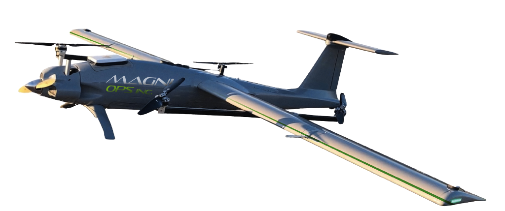
One mission, multiple layers of truth
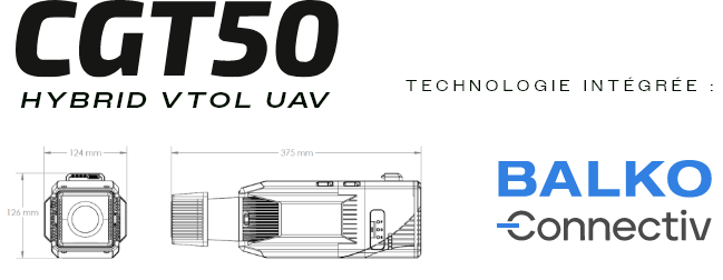
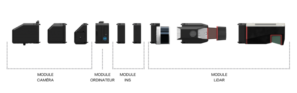
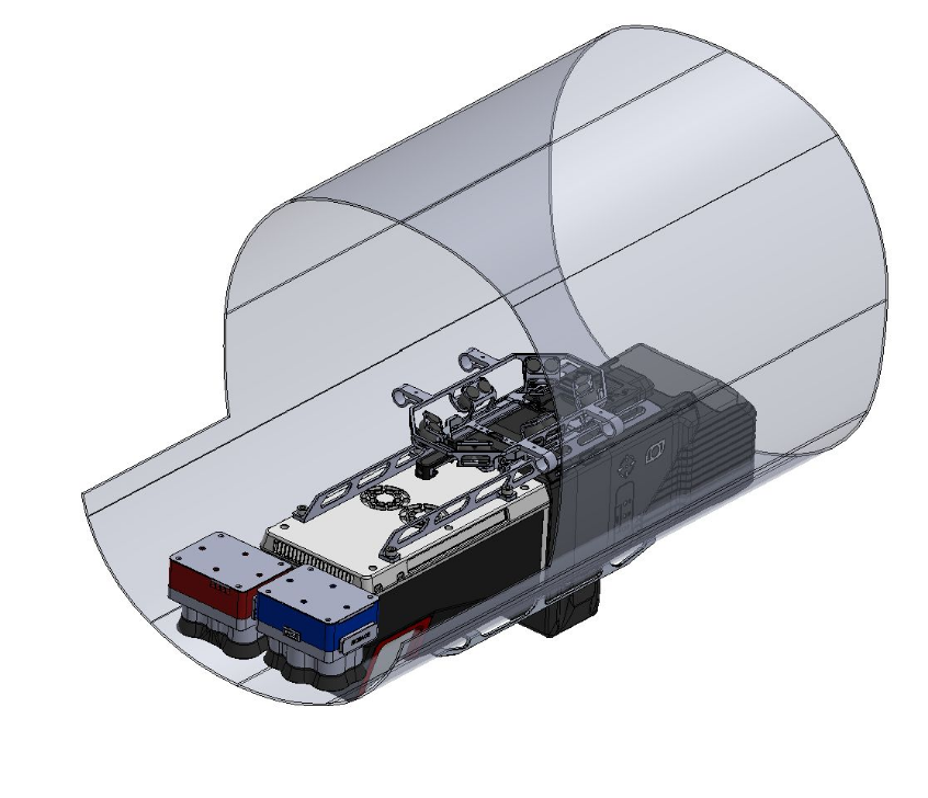
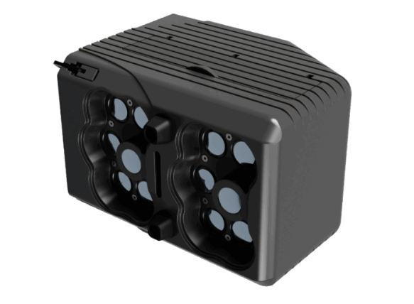
MAGNI OPS integrates Connectiv (BALKO) to deploy modular, synchronized, and reliable geospatial acquisition capabilities. The system connects and synchronizes LiDAR, INS, and cameras around a single computing module to produce consistent, easy-to-verify, and rapidly actionable data.
Less field friction, faster deployment
RTX technology reduces dependence on GNSS base stations and limits the use of GCPs while maintaining a high level of quality: simplified logistics.
Faster decisions, more robust deliverables
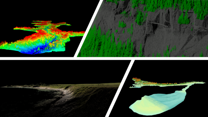
Synchronized and verified data → reliable 3D models, time comparisons, and “evidence + metrics” reports that can be used in operations.